San Diego International Airport
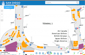
 NSGIS joined the Atkins team as a part of a greater project to completely overhaul the San Diego International Airport website. NSGIS and Atkins developed and deployed a new interactive mobile map that is accessible from the new website, including on tablets and smart phones. Built on VertiGIS™ Essentials software using a sophisticated HTML5 mobile viewer and Esri ArcGIS Server technology, airport customers are able to search for and zoom to airline check in desks, shopping stores, dining locations and art exhibits. While browsing the airport terminal map, customers can tap to zoom to their location and then tap on stores and other locations near them to learn more information.
Click here to experience the San Diego International Airport web mapping site.
Los Angeles International Airport
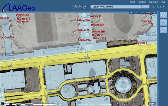
 As a subcontractor to SDI, NSGIS created and deployed a Silverlight Viewer called LAAGeo to enable the employees of Los Angeles World Airports (LAWA) to easily browse and analyze their spatial data, such as buildings, floor plans, Los Angeles Fire Department and Police Department stations and boundaries, roads and more. LAAGeo is used to search for features, not only by their official name but by terms more commonly used by employees (for example, ‘Old FedEx Hangar’), as well as addresses and assessor parcel numbers.
Oakland International Airport
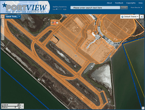
 Oakland International Airport (OAK) is a part of the Port of Oakland and is collaborating with the Maritime portion of the Port to provide data, including concrete and runway conditions, and expertise to be included in the geospatial web viewer PortView. As this project is built on ArcGIS for Server and Geocortex Essentials, it is easy to deploy data and theme customized browsers to different user groups at the Port, including the Airport, Maritime, Environmental and more.
Click here to learn more about NSGIS’s solution for the Port of Oakland.
Auckland International Airport
![]() Our sister company, NorthSouth GIS NZ Ltd in New Zealand, provided Auckland Airport with an intuitive map viewer that makes airport information immediately available to every staff member.
Our sister company, NorthSouth GIS NZ Ltd in New Zealand, provided Auckland Airport with an intuitive map viewer that makes airport information immediately available to every staff member.
“I was impressed. This is the first time, in my experience, that a company has delivered exactly what they showed in their presentation. There was not one single thing that was oversold”
Stewart Symon
Asset Data Services Manager
Auckland Airport

 Enesgy